 The polar-orbiting and geostationary satellites of National Oceanic and Atmospheric Administration (NOAA) are mainly responsible for weather and climate monitoring. However, being a part of global COSPAS-SARSAT satellite system, they additionally contributed to rescuing 350 people in 2023, with regards to life or health threatening emergencies in the United States and its surrounding waters.
In one of our previous articles from about four weeks ago, we have told you how the European SAR service incorporating Galileo satellite system works, and how the training of related Search and Rescue crews looks like. This time, we bring you some news from another hemisphere, concerning a different life saving satellite system, COSPAS-SARSAT, and NOAA satellites being its part.
The International COSPAS-SARSAT Programme is the global satellite search and rescue system for detecting emergency signals and distributing information. Its name consists of acronyms derived from two languages, Russian and English. COSPAS is a latinized abbreviation from Космическая Система Поиска Аварийных Судов – КОСПАС (English: Space System for the Search of Vessels in Distress), and SARSAT stands for Search And Rescue Satellite-Aided Tracking.
The origins of the programme date back to 1979, when it was launched as joint initiative of Canada, France, the United States and the Soviet Union (the latter was replaced by Russian Federation, since January 1992). In 1988, the aforementioned countries signed an agreement which resulted in the official establishment of intergovernmental, non-profit, humanitarian organisation within the programme. Currently, forty-five nations (including the founding countries) and agencies are officially involved in the International COSPAS-SARSAT Programme.
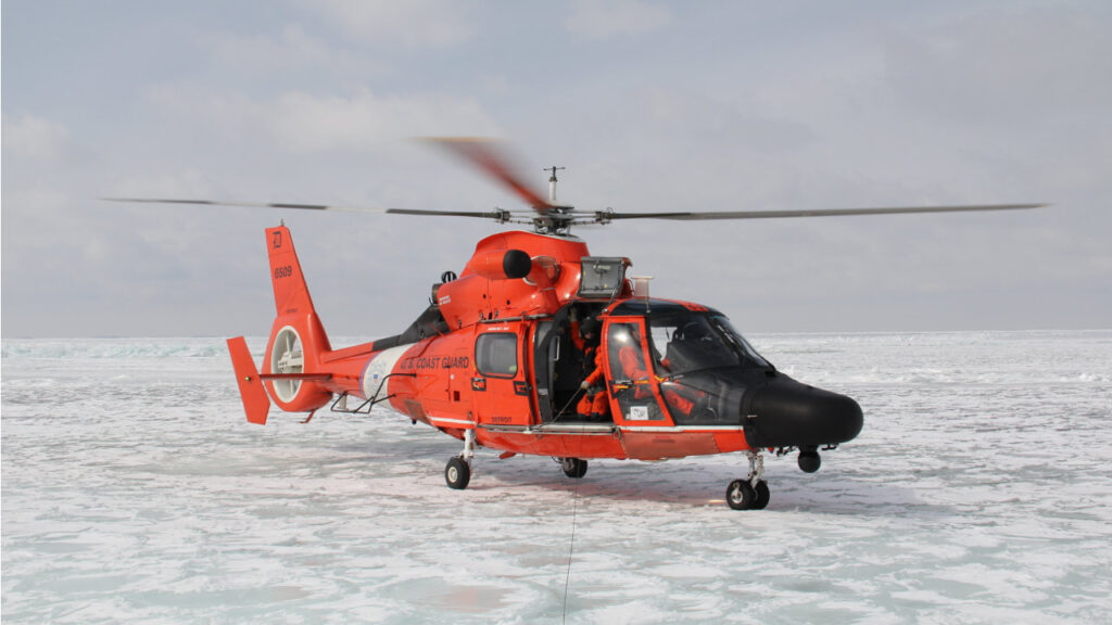
The COSPAS-SARSAT system is a network of about sixty-five various international satellites orbiting our planet, such as those belonging and operated by NOAA. Besides various tasks of each of the spacecraft, their joint objective within the COSPAS-SARSAT system is to monitor the Earth surface while searching for and precisely localising 406 MHz frequency signals from emergency beacons on board of aircraft and sea vessels, as well as from hand-held Personal Locator Beacons (PLBs). The latter are, for example, used by backcountry hikers who found themselves in a dangerous, life-threatening situations. Then, the tracked signals are forwarded to the nearest emergency services.
According to information released by NOAA on 18th January 2024, since the first rescue involving the COSPAS-SARSAT satellites – which occurred 42 years ago, on 10th September 1982 – the system is credited with contributing to more than 48,000 rescues throughout the entire world, including 10,455 in the United States and its surrounding waters.
In 2023, the National Oceanic and Atmospheric Administration satellites that are part of the SARSAT system, helped to save 350 lives in the United States. That number includes 255 people recovered from water and 44 rescued from aircraft accidents, while 51 individuals were saved on land by tracking their PLB signals. The most people were rescued in Florida (83), Hawaii (52) and in Alaska (49). It is worth mentioning that the record year so far in this regard was 2019, when thanks to the SARSAT as many as 412 people were rescued in the United States.
Rescue signals detected by NOAA satellites within the United States are located and immediately transmitted to the SARSAT Mission Control Center at the NOAA Satellite Operations Facility in Suitland, Maryland. From there, the information is forwarded to Rescue Coordination Centers operated by both the United States Air Force (USAF) for land rescues and the United States Coast Guard (USCG) for offshore life-saving interventions.
The National Ocean and Atmospheric Administration also shared a few examples of the last year’s rescue missions carried out with the help of their satellites from the SARSAT system. As NOAA reported, the first of the mentioned situations occurred on 12th June 2023. On that day, one of the fishing boats located just south of Gulf Shores, Alabama, experienced the engines malfunction. The crew activated the onboard emergency beacon, allowing the position of their boat to be tracked by the satellites and forwarded to the US Coast Guard, which soon rescued the nine-person crew.
On 5th September, the Alaska Rescue Coordination Center received a satellite-tracked signal from an aircraft on-board Emergency Locator Transmitter. After cross-referencing the data with a report provided by the Federal Aviation Administration, regarding a mid-air collision between a helicopter and an aircraft, the Alaska National Guard was dispatched to the scene and provided help to the victims, who surprisingly suffered only minor injuries.
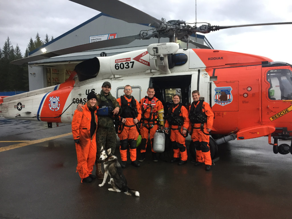
On 14th September, the USCG received a satellite-tracked distress signal coming from a Personal Locator Beacon of two hikers in Kukuihaele, Hawaii, who fell into a ravine and were disabled. The Coast Guard immediately notified the Hawaii County Fire Department. Their helicopter soon found and retrieved the injured individuals, transporting them to the nearest hospital.
‘With each life saved, the SARSAT program proves its worth NOAA’s partnerships with the U.S. Coast Guard, U.S. Air Force, NASA and others around the world are the foundation of SARSAT’s long success.’ – said Steve Volz, Ph.D., assistant administrator for NOAA’s Satellite and Information Service.
However, keeping an eye on the safety of people on Earth by NOAA satellites is not limited to the United States area. If they detect a distress signal in another part of the world, they transmit information about its location and origin to the nearest COSPAS-SARSAT system partner station.
In conclusion, and as an interesting fact, it is also worth noting that, according to NOAA, currently up to 98% of all emergency beacon activations are false alarms, most of which are fortunately resolved through a phone call.
Cover photo: A Coast Guard Dolphin helicopter rests on frozen Lake Erie during a mission to gather ice depth measurements in support of the National Oceanic and Atmospheric Administration, March 5, 2014. Photo by Petty Officer 3rd Class Scott Gendron, U.S. Coast Guard.
In this article, information from National Oceanic and Atmospheric Administration press releases (www.noaa.gov), as well as information from the official COSPAS-SARSAT system website (www.cospas-sarsat.int) were used. Photo 1 and 3 © National Aeronautics and Space Administration and United States Coast Guard. Cover photo and photo 2 © U.S. Department of Defence (DoD). DoD information materials were used, in compliance with Public Domain licence. The appearance of U.S. Department of Defense (DoD) visual information does not imply or constitute DoD endorsement.